File:Karte der Umgebung von Kiel.jpg
Jump to navigation
Jump to search

No higher resolution available.
Karte_der_Umgebung_von_Kiel.jpg (362 × 569 pixels, file size: 96 KB, MIME type: image/jpeg)
Captions
Add a one-line explanation of what this file represents
Captions
| Description |
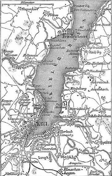
Historical map of the surrounding area of Kiel. |
|||||||||
| Author | Unknown | |||||||||
| Date | ||||||||||
| Source | Meyers Konversationslexikon (1888), Band 9, Seite 717 | |||||||||
| Geotemporal data | ||||||||||
| Bounding box |
|
|||||||||
| Georeferencing | ||||||||||
| This image comes from the 4th edition of Meyers Konversationslexikon (1885–90). The copyrights have expired and this image is in the public domain. |
|
This work is in the public domain in its country of origin and other countries and areas where the copyright term is the author's life plus 100 years or fewer. This work is in the public domain in the United States because it was published (or registered with the U.S. Copyright Office) before January 1, 1925. | |
| This file has been identified as being free of known restrictions under copyright law, including all related and neighboring rights. | |
File history
Click on a date/time to view the file as it appeared at that time.
| Date/Time | Thumbnail | Dimensions | User | Comment | |
|---|---|---|---|---|---|
| current | 13:37, 11 February 2005 | | 362 × 569 (96 KB) | ¡0-8-15! (talk | contribs) | {{PD-Meyers}} |
You cannot overwrite this file.
File usage on Commons
The following page uses this file:
File usage on other wikis
The following other wikis use this file:
- Usage on de.wikipedia.org
- Usage on en.wikipedia.org
- Usage on fr.wikipedia.org
- Usage on mk.wikipedia.org
- Usage on sv.wikipedia.org