File:Midnightlands.jpg
Jump to navigation
Jump to search


Size of this preview: 768 × 599 pixels. Other resolutions: 308 × 240 pixels | 615 × 480 pixels | 769 × 600 pixels | 984 × 768 pixels | 1,024 × 799 pixels.
Original file (1,024 × 799 pixels, file size: 147 KB, MIME type: image/jpeg)
Captions
Add a one-line explanation of what this file represents
Captions
| Title |
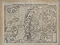
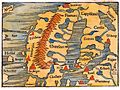
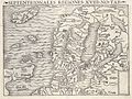
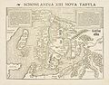
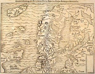
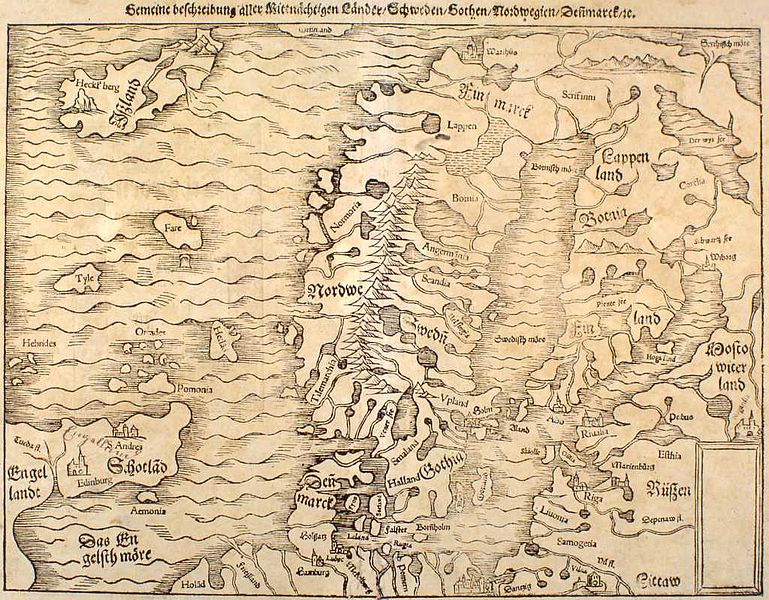
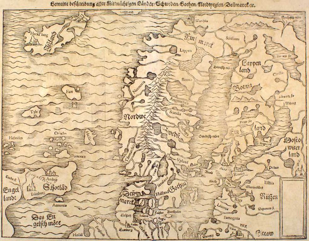
English: Northern Regions. Map #18. Latina: Septentrionales Regiones .XVIII. No. Tab. Deutsch: Gemeine beschreibung aller Mittnächtigen Länder/Schweden/Gothen/Nordwegien/Deñmarck/rc |
|||||||||||||||||||||||
| Description |
Map published in Germany |
|||||||||||||||||||||||
| Author |
|
|||||||||||||||||||||||
| Date | or 45 | |||||||||||||||||||||||
| Source | English: Map from kort.bok.hi.is, a collection of antique maps of Iceland from the National and University Library of Iceland and the Central Bank of Iceland which have been converted to a digital format. Original image URL: [1] |
|||||||||||||||||||||||
| Geotemporal data | ||||||||||||||||||||||||
| Bounding box |
|
|||||||||||||||||||||||
| Georeferencing | ||||||||||||||||||||||||
| Archival data | ||||||||||||||||||||||||
| Institution |
|
|||||||||||||||||||||||
| Other versions |
|
|||||||||||||||||||||||
.jpg/120px-Christoph_Amberger_-_Der_Kosmograph_Sebastian_M%c3%bcnster_(1552).jpg)
Licensing[edit]
|
This work is in the public domain in its country of origin and other countries and areas where the copyright term is the author's life plus 100 years or fewer. This work is in the public domain in the United States because it was published (or registered with the U.S. Copyright Office) before January 1, 1925. | |
| This file has been identified as being free of known restrictions under copyright law, including all related and neighboring rights. | |
File history
Click on a date/time to view the file as it appeared at that time.
| Date/Time | Thumbnail | Dimensions | User | Comment | |
|---|---|---|---|---|---|
| current | 19:52, 17 September 2005 | | 1,024 × 799 (147 KB) | Ævar Arnfjörð Bjarmason (talk | contribs) | {{Kortabók| Title = Gemeine beschreibung aller Mittnächtigen Länder/Schweden/Gothen/Nordwegien/Deñmarck/rc| Author = Sebastian Münster| Origin = Germany| Year = 1544| Source = http://kort.bok.hi.is/kort.php?a=gm&id=12 }} |
You cannot overwrite this file.
File usage on Commons
The following 6 pages use this file: